
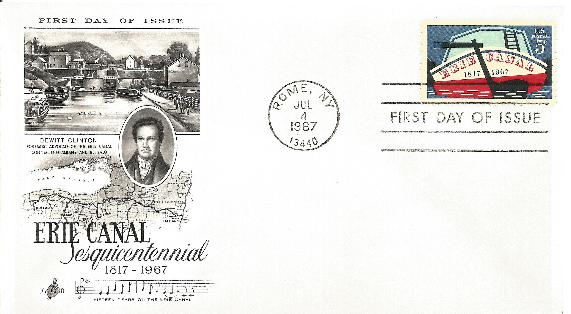
Featured image: a 1967 commemorative stamp and first-day cover, not a contemporary view of the canal in 1825. Photo: Hnsjrgnweis / Wikimedia Commons source / CC BY-SA 4.0. Display copy resized; photograph not otherwise altered.

The Erie Canal connected Lake Erie with the Hudson River in 1825. Its importance was not simply the engineering achievement: an inland producer now had a water route toward New York’s Atlantic trade. Moving goods, travelling and finding a market became connected decisions. The effects were substantial, but a canal map alone cannot tell us why a particular family migrated or how much a particular merchant saved.
What opened in 1825?
GovInfo’s account of the opening dates construction from July 1817 to October 1825. The original waterway was 363 miles long, 40 feet wide and four feet deep. Those dimensions describe the first canal, not every later enlargement or the modern canal system.
That distinction matters when reading photographs. A twentieth-century boat or enlarged lock is evidence of the canal’s later life. It should not silently stand in for the dimensions or travelling conditions of 1825. Check the image date alongside the route being discussed.
Trade: a route to market, not one universal price
The National Park Service’s corridor history connects the canal system with New York’s commercial growth. A water connection helps explain how inland goods could reach an Atlantic port, but the cost of a particular shipment still depends on its year, commodity, origin and destination.
For example, compare two freight entries only after establishing whether both include terminal handling and the same unit of weight. A low rate advertised by a carrier is not automatically the amount every customer paid. To examine the change rather than repeat a slogan, look for dated toll schedules, freight accounts and the prices received at each end of the journey.
Migration: follow the town as well as the waterway
The Park Service reports that populations in Syracuse, Rochester and Buffalo along the route quadrupled between 1830 and 1850. That identifies a striking regional change; it does not establish that every new resident arrived by canal or that the canal was the only cause.
A family-level account needs a different record. Census entries can show residence and occupation; a letter may explain a move; a deed can date an acquisition. Compare the timing of those records with the canal’s operation. Avoid assigning a motive to a person solely because their new home was close to the route.
A passenger’s journey was not a freight movement
A useful travel account identifies the boat, departure, destination, stops and date. Read an advertised passage alongside a traveller’s diary rather than treating either as a complete timetable. An advertisement records a service being offered; a diary records one person’s experience of it. Neither alone measures the experience of all travellers.
| Question | Record to seek | Limit to keep visible |
|---|---|---|
| What did transport cost? | Dated toll schedule and freight bill | Different cargoes and routes are not interchangeable. |
| Why did someone move? | Letter, household record and dated residence | Residence near a canal is not proof of motive. |
| How did a trip feel? | Diary or passenger account | One journey is not a network-wide average. |
| Which canal is pictured? | Photograph date and location | Later enlargements do not show the original canal unchanged. |
Keep the modern corridor separate
Congress established the Erie Canalway National Heritage Corridor in 2000. The Park Service describes it as including several canals and their historic alignments, not just the original Erie Canal. Today’s preserved landscape helps locate the story, but historical claims still need records from the period they describe.
Sources and further reading
- U.S. Government Publishing Office: opening and original dimensions
- National Park Service: canal communities and the heritage corridor